|
menu
|
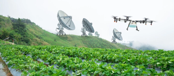
The SINAG Digital Platform provides satellite- and drone-based tools that support technical personnel, researchers, and local government units in making data-driven agricultural decisions. By leveraging advanced remote sensing, GIS, and climate datasets, the platform enables deeper insights into crop health, rainfall variability, and environmental conditions. SINAG Virtual Hub developed, and still developing, cutting-edge tools with great usability but still considering ease-of-use.
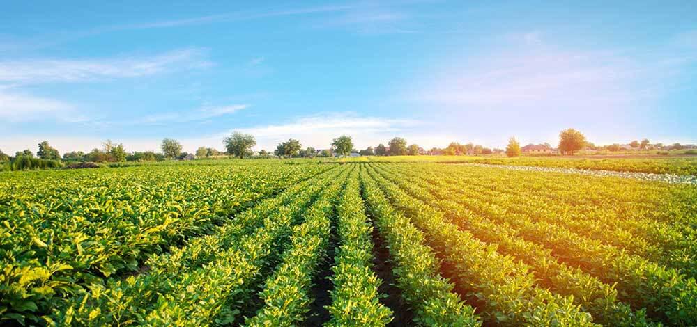
Study your crop growth patterns using tools derived from Satellite Images.
Access crop stage analytics and draw meaningful insights using Google Earth Engine powered platform tool.
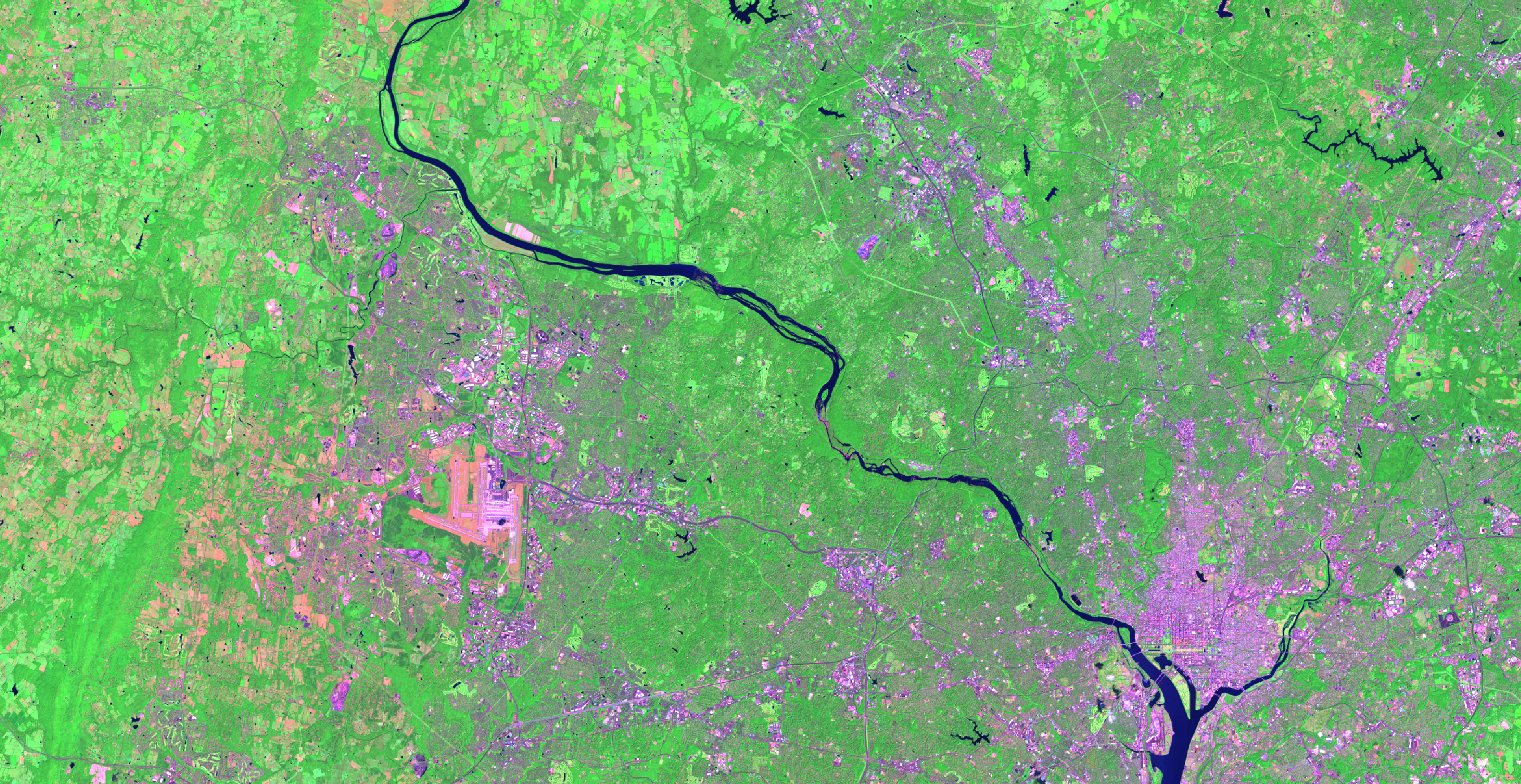
Develop color maps using different band combinations to create meaningful insights regarding crop health, moisture, and phenomenon.
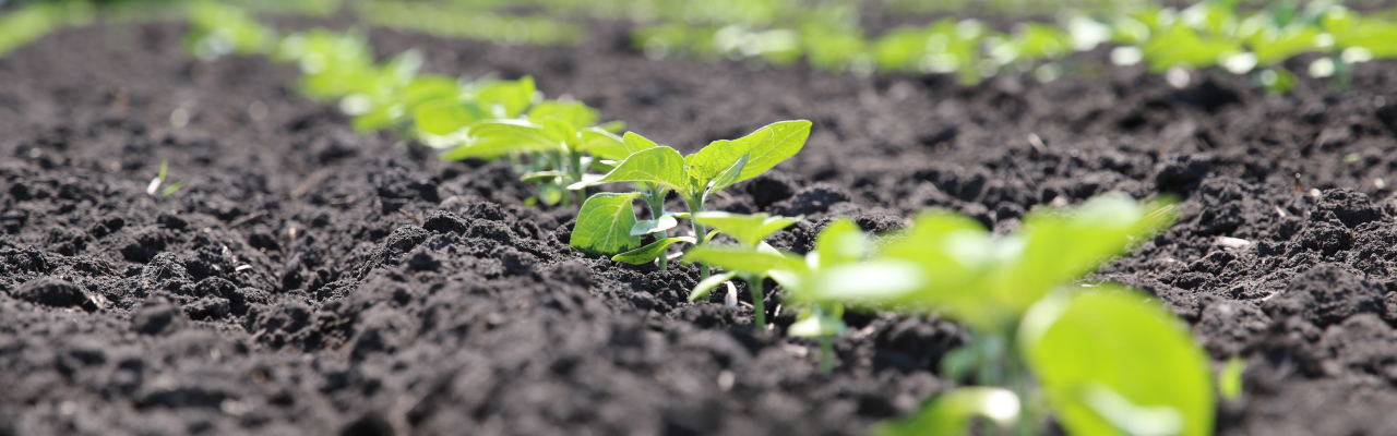
Free tools that you can use to monitor your crops.
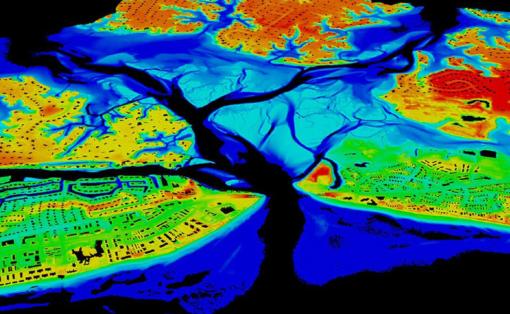
Providing you access to centimeter-level spatiotemporal images using bleeding-edge drone technology